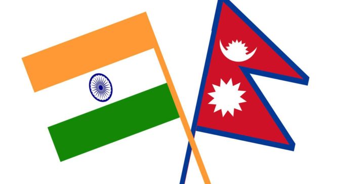
Kalapani controversy: Nepali parliament approves disputed map, India’s objection bypassed

Nepal Parliament Passes New Map Bill: Nepal’s Parliament has given its approval to the new political map of the country. The Nepali Parliament has given this approval at a time when the border dispute between India and China is running at the peak. Now this bill will be sent to the President.
Overcoming India’s objections, the National Assembly, the upper house of the Parliament of Nepal, gave its approval to the Constitution Amendment Bill introduced on Thursday on the disputed political map of the country. Meanwhile, Dinanath Sharma, the leader of the parliamentary party of the ruling Nepal Communist Party in the National Assembly, said that India has illegally captured Lipulekh, Kalapani, and Limpiyadhura and should return the Nepali land.
There were 57 votes in the National Assembly in support of Nepal’s new map and no one voted in protest. Thus, the Bill was unanimously passed by the National Assembly. During the voting in the National Assembly, the opposition Nepali Congress and the Janata Samajwadi Party in Nepal-Nepal supported the government’s bill related to the amendment of the third schedule of the constitution.
Described 395 square kilometers of Indian territory as its own
Nepal has shown Lipulekh, Kalapani, and Limpiyadhura in its territory in this new map amidst the deadlock with India. It was introduced by the Minister of Law, Justice and Parliamentary Affairs Shivamaya Thumbhangfe to discuss the Constitution Amendment Bill in Parliament to change the map of the country. In this new map, Nepal has declared a total of 395 square kilometers of Indian territory as Lipulekh, Kalapani, and Limpiyadhura. India has refused to accept the map, objecting to Nepal’s move and said that it is only a political weapon that has no basis.
Bill will be sent to the President
After the passage of the bill from the National Assembly, this bill will now be sent for the approval of President Vidya Devi Bhandari, after which it will be included in the constitution. After the President’s approval, the new map will be used in all official documents. The new political map was approved on May 18 in a cabinet meeting. The government on Wednesday formed a nine-member committee of experts which would gather historical facts and evidence related to the area.
Experts raised questions on the government’s move
Questioning the government’s move, diplomats and experts said that when the map has already been approved and released by the Cabinet, then why was this task force of experts constituted? Relations between India and Nepal were strained when Defense Minister Rajnath Singh inaugurated the strategically important 80-km road connecting Dharchula to Lipulekh Pass in Uttarakhand on 8 May. Nepal reacted sharply to the opening of this road, claiming that the road passes through the Nepali region. India rejected Nepal’s claims, reiterating that the road was completely located in its territory.


There are no comments at the moment, do you want to add one?
Write a comment